|
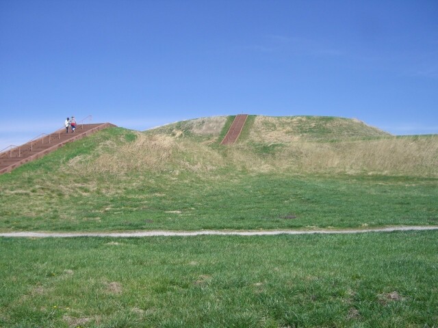
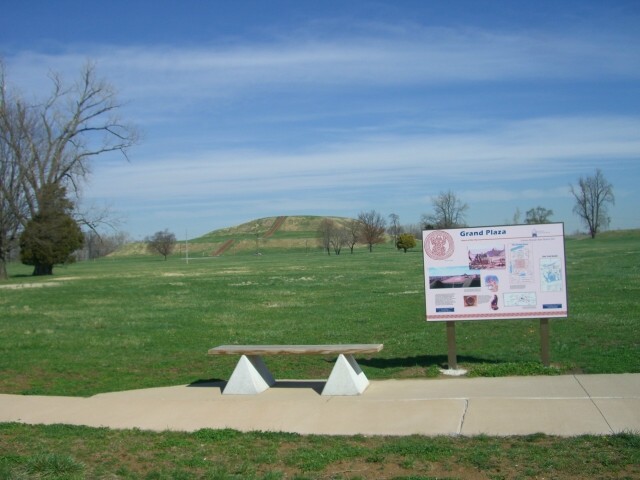
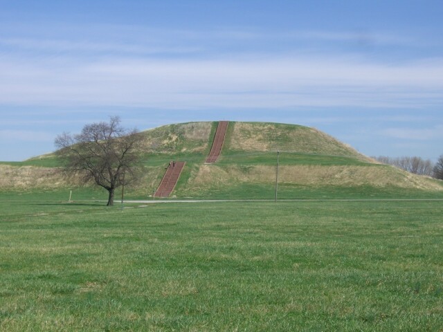
The only one you are allowed to climb on is the largest pyramid. 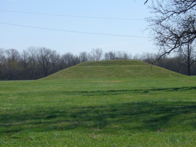
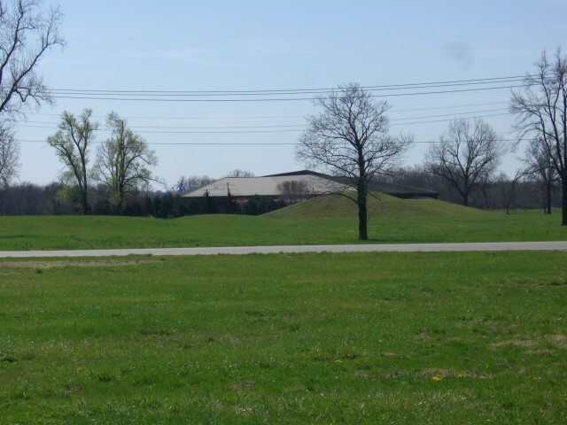
This is one of the remaining two tiered mounds. 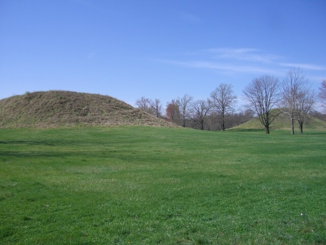
These are the "twin pyramids" close up. The far one was cone shaped and the closer one was about four stories tall at one point. 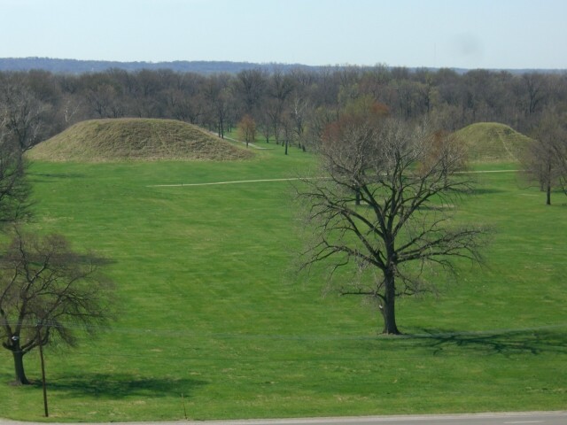
This is "the twins" from on top the largest pyramid. 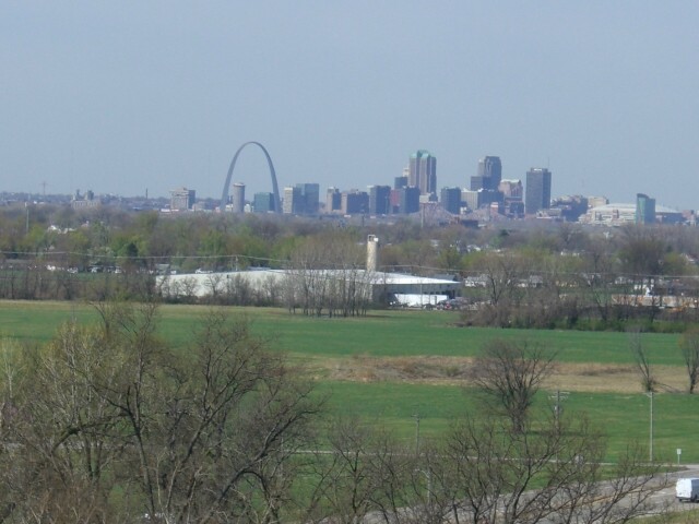
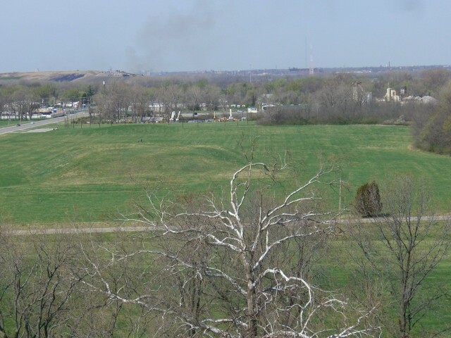
This is a view of St. Louis from the top of the largest pyramid.
Click here for more Arch pictures from a moving car.
Click here for pictures of the greatest public art piece in Chicago.
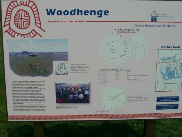
"America's
Woodhenge"
The picture below was taken from the top of the largest pyramid looking west. See a road through the trees, the mound and past that, and on the upper left of the picture a small parking lot? Look closely and you can see the poles of "woodhenge" to the right. |
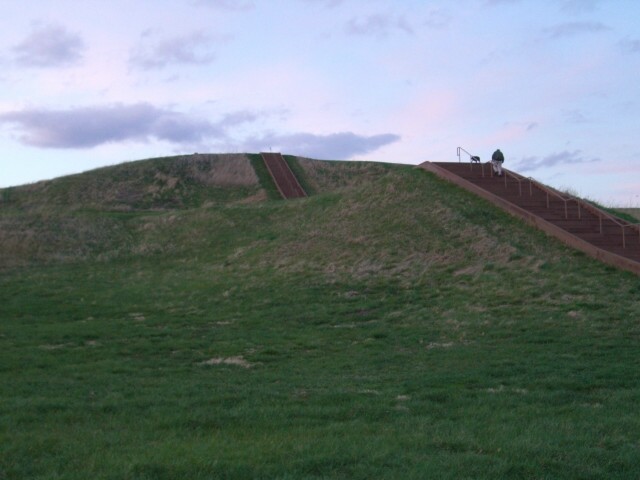
It is quite a climb. 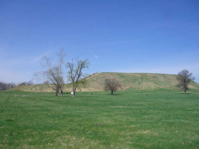
This is a side view of the main pyramid.
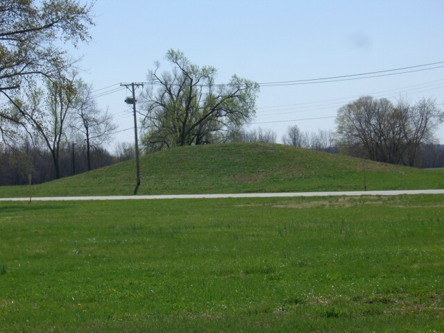
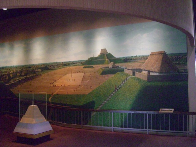
This is the remains of a "cut top" mound, probably used as a stage for religious/political practices.
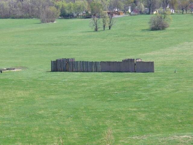
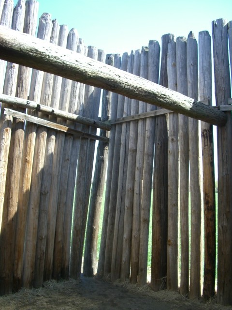
The entire place was surrounded by wooden palisades which were rebuilt three times in essentially the same place, but seems were never burned nor substantially attacked. Above is the view of the re-creation of the wall from the top of the largest pyramid, below is a closer view. No gates, just very close passage ways meant tight control over who gets into the main plaza area.
For more on Cahokia State Park,
click here to
visit their web page.
Below is a recreation of a circle of large logs located to the west of the largest pyramid. In this picture you can see the pole aligned with the largest pyramid. This point marks sunrise on the spring equinox.
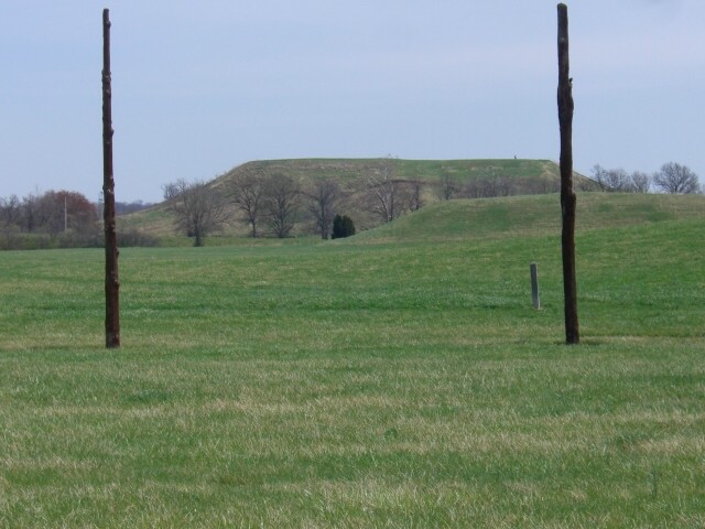
Also notice the large mound of dirt in the distance on the left side of the horizon? That is St. Louis's dump. It is nearly as tall as the largest pyramid.
Every culture leaves a record. |